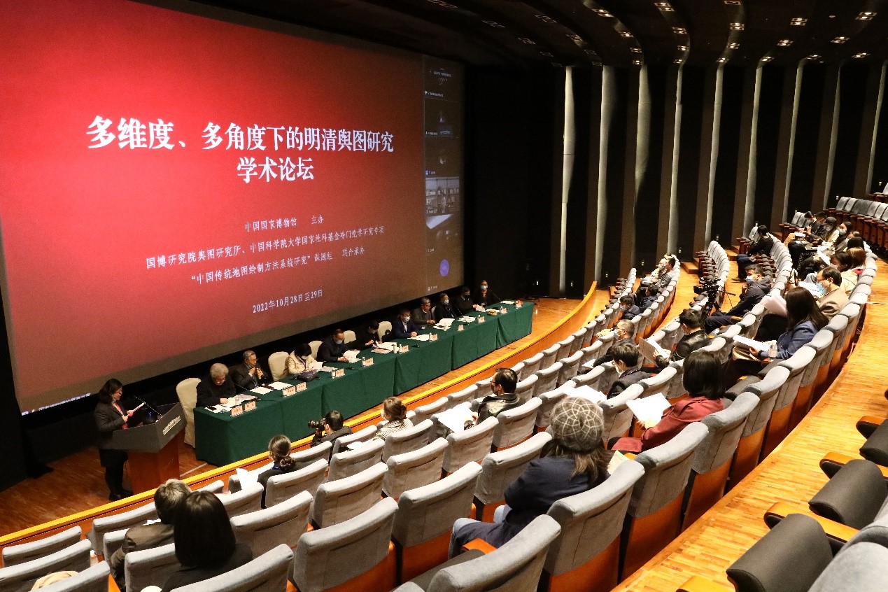
A symposium on Multi-dimensional and Multi-faceted Research into Ming and Qing Dynasties Maps was held at the National Museum of China from October 28 to 29. Hosted by the National Museum of China, the symposium was jointly organized by the Cartographical Research Center at the NMC Research Institute and the “Systematic Research into Traditional Chinese Map-making” research group at the University of Chinese Academy of Sciences. Dr. Ding Pengbo, deputy director of the National Museum of China attended the symposium and delivered an opening speech. Close to 130 experts and scholars from the fields of historical geography, natural science history, humanities and publishing participated in a mix of online and in-person discussions.
The Symposium, as a comparatively large-scale academic forum on ancient cartography, received 86 paper abstracts, which were delivered through four plenary sessions and six panel discussions. In the four plenary sessions, 32 scholars delivered keynote speeches on the theme of cartographical research, with focused discussions on ancient Chinese star maps and Ming and Qing dynasties maps collected by various organizations. The discussions covered comprehensive facets and views on the political, economic, cultural and artistic impact of these maps, as well as their impact on the exchanges between China and other countries. During the six panel discussions, more than 50 experts and scholars discussed a wide range of topics including maps and politics, geography, irrigation, territorial borders, art, technology, perceptions and exchanges, as well as special images and foreign maps.
Source: National Museum of China